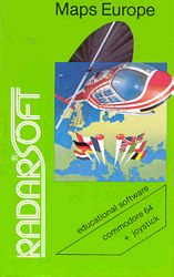
Maps 64 : Europe
Commodore 64 · 1984 · WOR
Also known as: Maps 64 - Europe
Publisher: Radarsoft · Developer: Cees Kramer & John Vanderaart
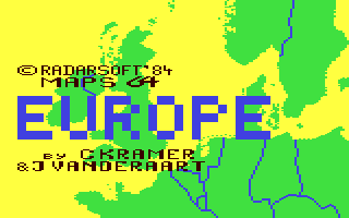
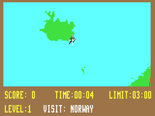
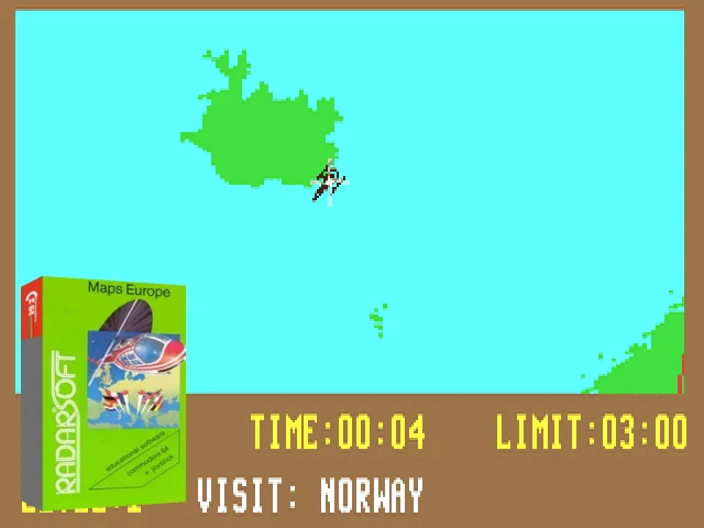
“Maps 64: Europe” is a geography-based educational game where you pilot a small airplane to locate European countries on a map. Each round displays the name of a country – like Norway – and challenges you to fly there accurately within a time limit. The faster and more precise you are, the more points you earn. As levels progress, the difficulty increases, testing your familiarity with European geography. It's an entertaining and instructive flight across the continent.
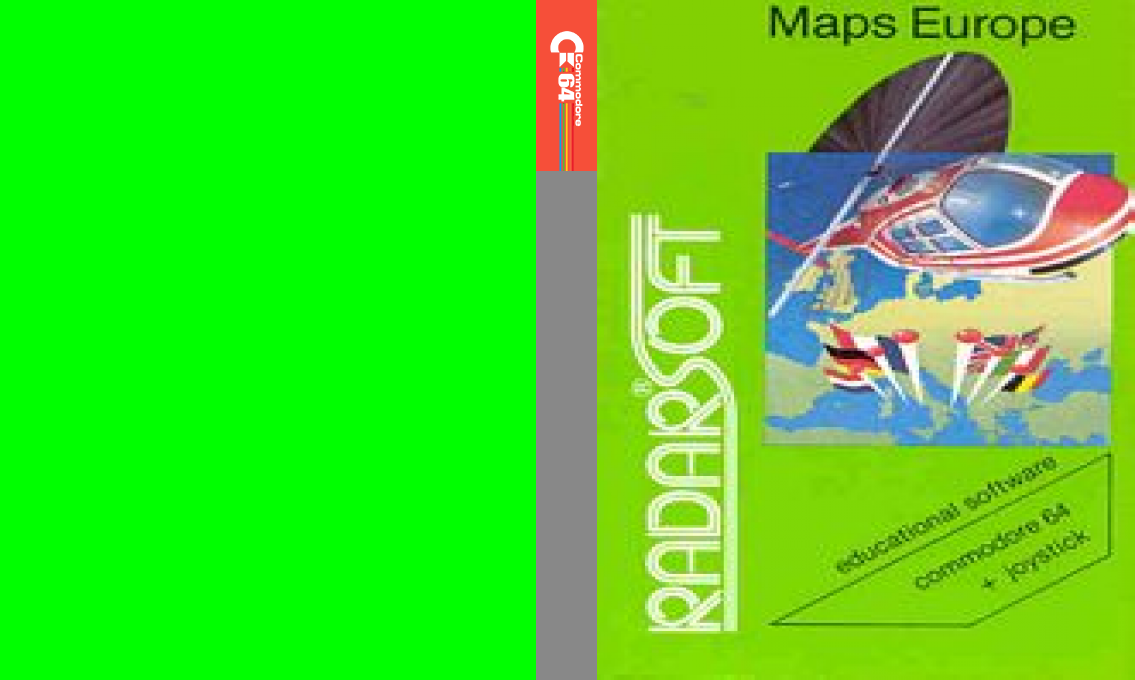
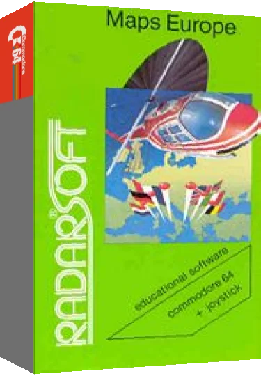
Artwork & screenshots


Found an error? Suggest a fix from the app · Use this data via the public API.